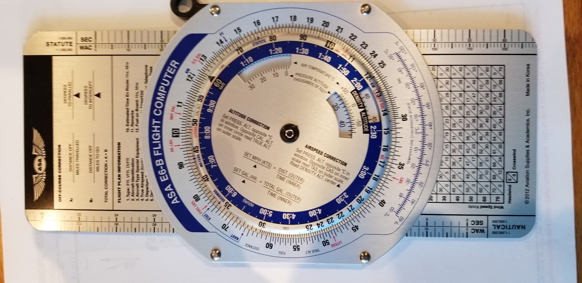
Let me expand on this for emphasis. Once you get in theater, no one in occupied territory is going to be helping you navigate. (unless we can get agents in with NDBs, and they won’t last long). There will be no electronic navaids, and at night all the lights will be out. Word has it that, during the Battle of Britain, the Luftwaffe bombers navigated at night by counting the number of bridges they crossed going up the Thames, because they could see them against the water. Landmarks will also be difficult to see in the daytime because of the cloudy weather in northwestern Europe most of the year. You will (should) have no GPS, no map mode, no Plan G connected with FSX, nothing. So, how is it that you are going to find your target? How often in your flight sim career have you faced this problem? You will have to rely on time, track and groundspeed – Dead Reckoning. You know heading and indicated airspeed and you can measure time, but you don’t know track or ground speed. If you know the wind, you can compute these things using the E6B. This is your chance to develop these skills before you find yourself crossing the English Channel enroute to your first mission waypoint. So, start now, on your way to Britain. Your father’s (or grandfather’s) B-26 could get him there because he had a navigator; a person with a brain, a watch, a map and an E6B, giving him updated headings.
So, before you depart on each leg of your ferry you will want a fresh weather report, including winds aloft. If you have a weather program (e.g., Active Sky) capable of providing you with accurate historical weather, set it to synch with the simulator date (month and day) in 2020. If not, just set the simulator date (month and day) and check real world weather. If your flight is to depart A for B on a given day (e.g., 6/13/43), check the weather at B at your projected arrival time. If the airport is IFR, either delay your flight to a later departure time, or try again for the following day. Don’t depart if you cannot expect VFR conditions at your destination, because, without VOR and DME or ILS, you will not be able to land. If you have an alternate and it’s forecast to be clear, OK. But, generally, those don’t exist in Newfoundland, Greenland, or Iceland. With the weather forecast, you can plan your flight to the next stop, using the winds aloft forecast to make preliminary estimates of heading, airspeeds, way made good, all that stuff. Make sure to update your navigation based on observable fixes as you proceed. You will be aided by your ADF. The NDBs will be active in the U.S. and allied countries and you can use them as updated position fixes to your dead reckoning navigation, but remember that the Germans will not be so accommodating, so now is the time to acquire some heads-up navigational skills. You might want to plan your route from NDB to NDB, using these as your periodic fixes and using Dead Reckoning to get within range of the next NDB.
Dead reckoning navigation poses a particular problem when flying over water, at night or above a solid cloud deck. This is because the navigator does not have access to ground or, in the case of long over-water flights, navaid checkpoints with which to check and correct his course. The problems posed by bad weather or night flying are soluble by avoiding long flights under these conditions, but little can be done to avoid long hops over water, particularly when ferrying your aircraft across the north Atlantic. This is a difficult problem to replicate in the flight simulator because, while you have advanced navigational aids not available in 1943 (VOR, ILS, GPS and map mode, Plan G, etc.), use of these is clearly cheating. On the other hand, the WWII pilot had access to navigational tools not available in flight simulator, especially celestial navigation, but also other tools to determine drift angle over water. To compensate for the loss of these, I suggest using the FSX display of in-flight wind direction and angle. These (and either elementary trigonometry or your E6B) will allow you to correct your heading to stay on course. This is harder than it sounds, though, because both of these are continuously changing. What is hardest is to avoid peeking at the GPS just to see how you’re doing. See if you can get there without doing that.
Whatever you do, be careful and deliberate about your navigation. I don’t want any phone calls about some Lieutenant putting down a perfectly good B-26 in somebody’s pasture because he ran out of fuel. Oh, that reminds me. Plan your fuel loading carefully, and remember, you are not carrying any bombs, so you can take those 4500 lbs. out of your bomb bay. Remember, fly every leg of your trip with the simulator date set to the assigned date (day & month) and in real,” that day” weather. Then, when you start SPAACARS, if needed, you can set the SPAACARS date back to the actual flight date, so that your flight will show up on our current home page. If you encounter foul weather enroute, you are authorized to divert to an open alternate. Your orders will allow you to requisition fuel, rations and quarters, as required. There’s a war on and everyone you encounter should be anxious to help. So, make course deviations as required, but get on it, we need you in England as soon as you can get there.
By the way, once in the ETO, the discipline you are (finally) learning will help you both to find your targets, and to get back to base, even after dark. Remember, WWII pilots didn’t have GPS, or moving map mode on their aircraft. Neither do you, right?